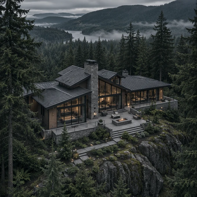
Real estate & property media
Show the property, surroundings, and access together. Plan for listing stills, aerial video, or short clips.
Plan property coverage Plan a project
Civilian drone services
Aerial photography, site documentation, and mapping for projects that need more than a view from the ground.
Service menu
Choose the coverage that fits your project, from listing photos to a repeatable record of a changing site.
Show the property, surroundings, and access together. Plan for listing stills, aerial video, or short clips.
Plan property coverage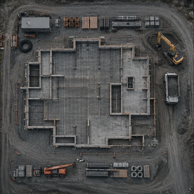
Document milestones from consistent angles for progress updates, project records, and stakeholder reports.
Plan a site visit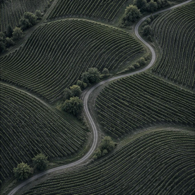
Stitched overhead imagery for site planning and visual reference. Not a boundary or certified land survey.
Plan a site mapClose-up views of visible conditions for your qualified reviewer. Imagery only, not an engineering or inspection certification.
Plan exterior coverageAerial establishing shots, property features, and short promotional clips for marketing teams and productions.
Plan a creative shootOverhead views for documenting field conditions, access routes, drainage patterns, and visible changes over time.
Plan land coverageFrom brief to files
Flight feasibility depends on the location, airspace, site permissions, weather, and requested coverage.
Start with the site, the angles you need, and how you’ll use the files.
Review flight feasibility and align on access, timing, and what’s safe to capture.
Confirm the shot list, file formats, and delivery expectations before scheduling.
Project planner
Build a brief to share yourself. This preview doesn’t take bookings or send information.